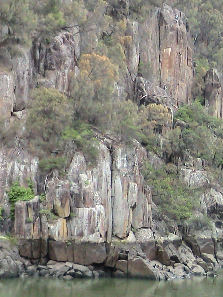
Low tide.
I arrived at the cottage in the Cataract Gorge on 7/3/16 and was
astounded by the 200 million year old dolerite cliff facing me on the
other side of the the South Esk River.
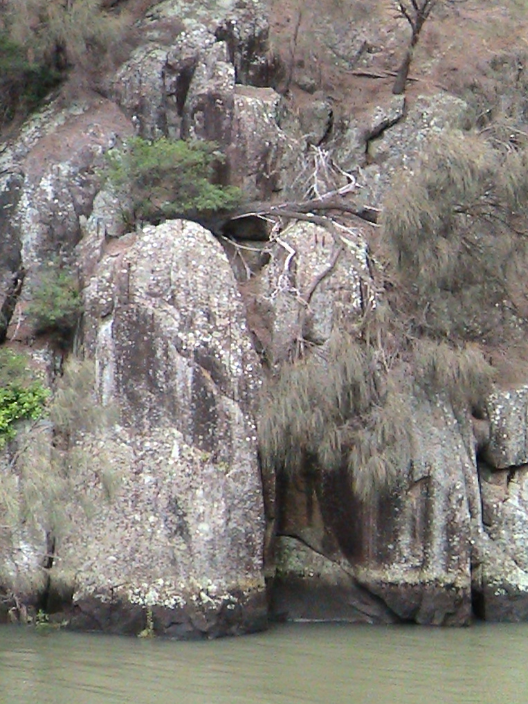
The dark demarkation on the cliff runs the length of the gorge, it
shows the highest point of the tidal movement of the river, which
rises and falls twice a day.The South Esk River flows into the Tamar
River, which is an estuary and therefor tidal.
The water level moves gradually up the cliff face until it reaches it's
mark, which varies depending on the phase of the moon, sits there
for a while, then drops away.
I will use this dark demarkation as a point of reference to map the
movement of the South Esk River up and down the cliff during
the month I am here, by taking daily recordings of the height and time
of the tides through-out the lunar cycle.
Tide coming in.

High tide.
The cottage (see first post Feb.29) is located at the point where the gorge opens up and the South Esk River meets the Tamar River, which in-fact is a estuary.
I can smell the salt of the Tamar within a minutes walk from the cottage.
I'm fascinated by the waterbirds fishing down in-front of me at dawn. In particular the Nankeen Night Heron.


Mary, how wonderful to hear your thoughts and look at the water, the cliff. I'm curious about the pink bird. Look forward to watching your mapping unfold.
ReplyDelete